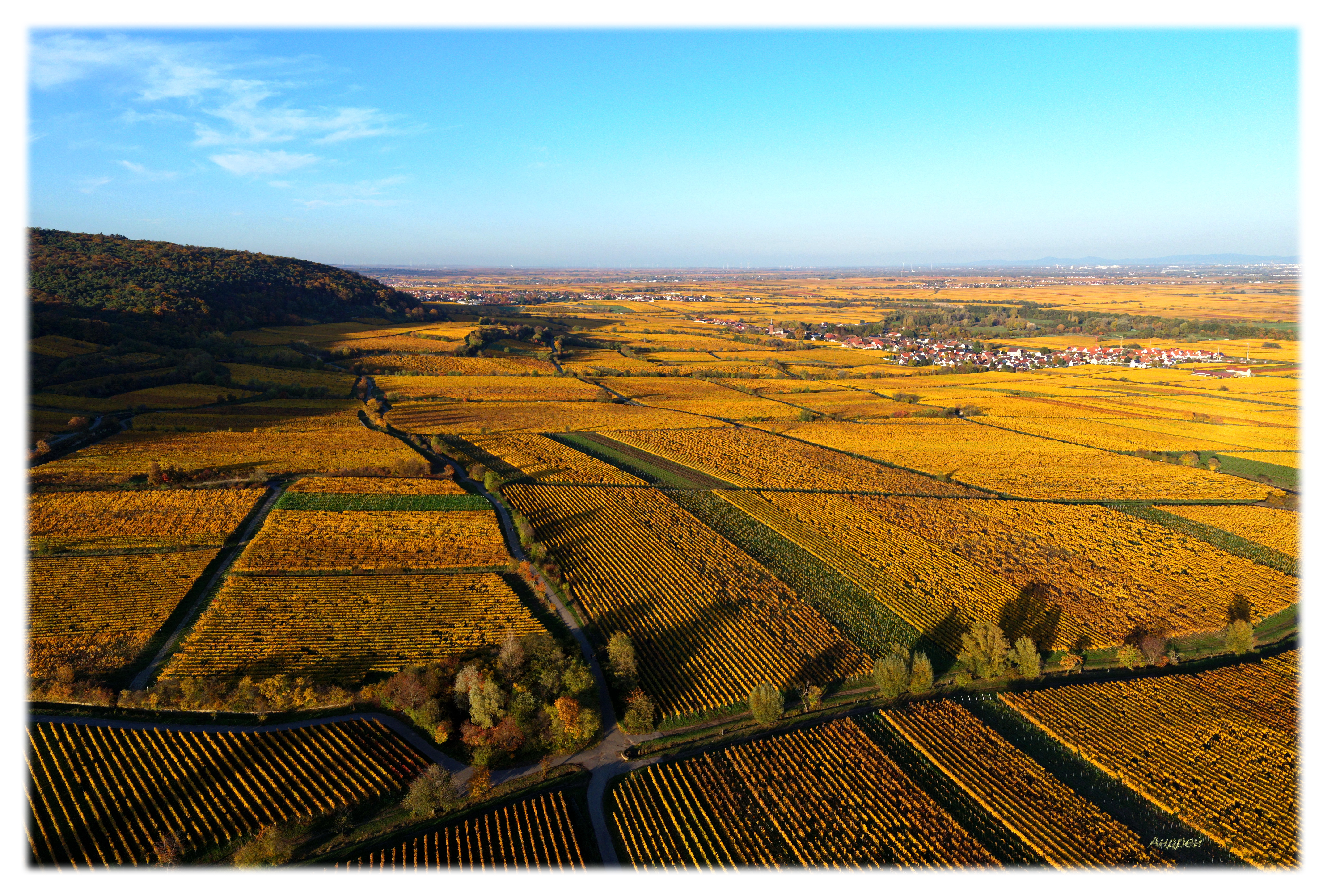
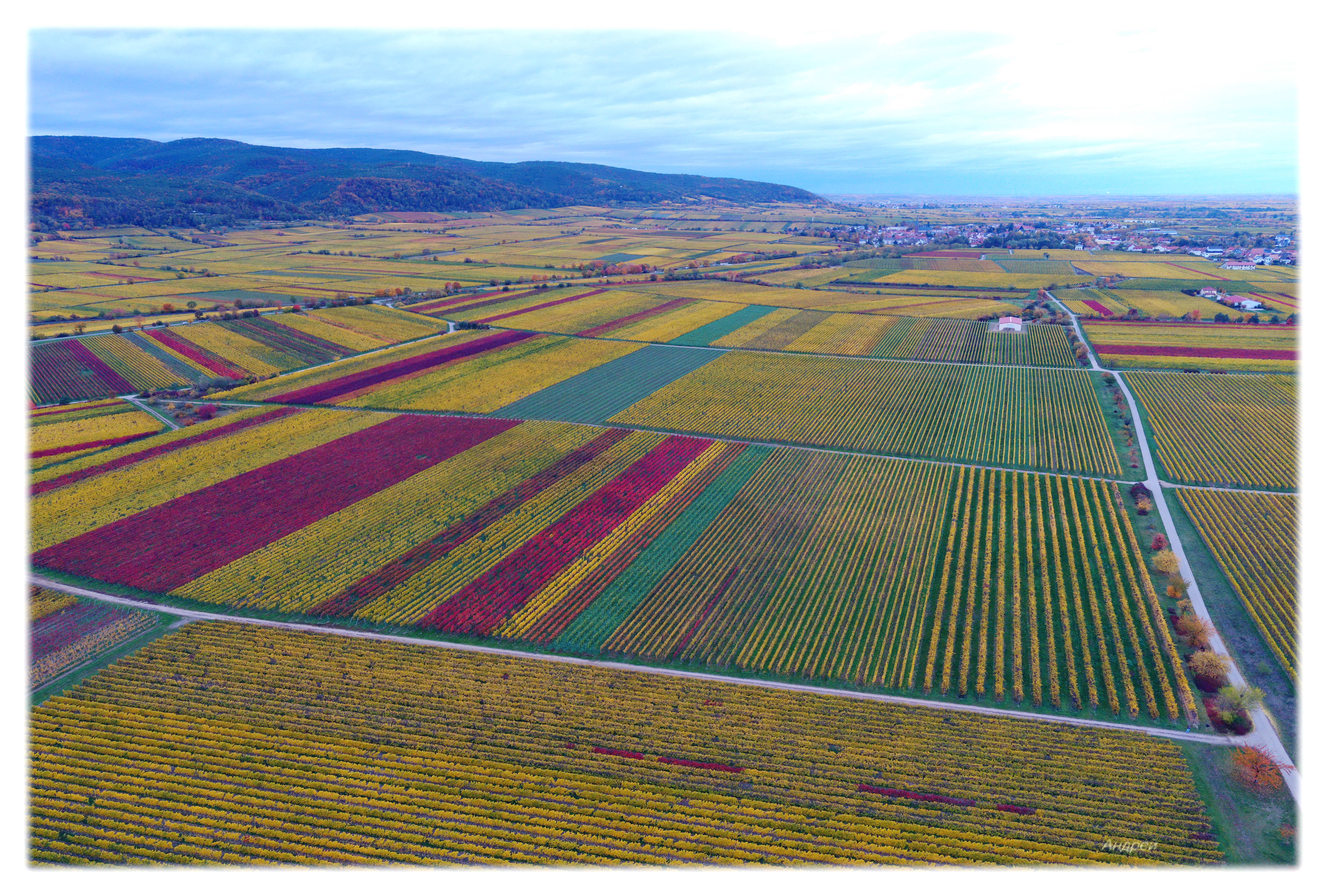
For many years i have been providing aerial photography services using drones.
Let
me tell more in details what i can propose for you:
Drones applications by industry sectors
Industrial
plants.
Proper surveillance needs for the
maintenance with guarantee security. With drones you can
conveniently and quickly obtain data on the
state of various objects - chimneys,
pipelines, buildings, various devices, systems and
structures. You will also receive
operational information about the situation
at the plant area
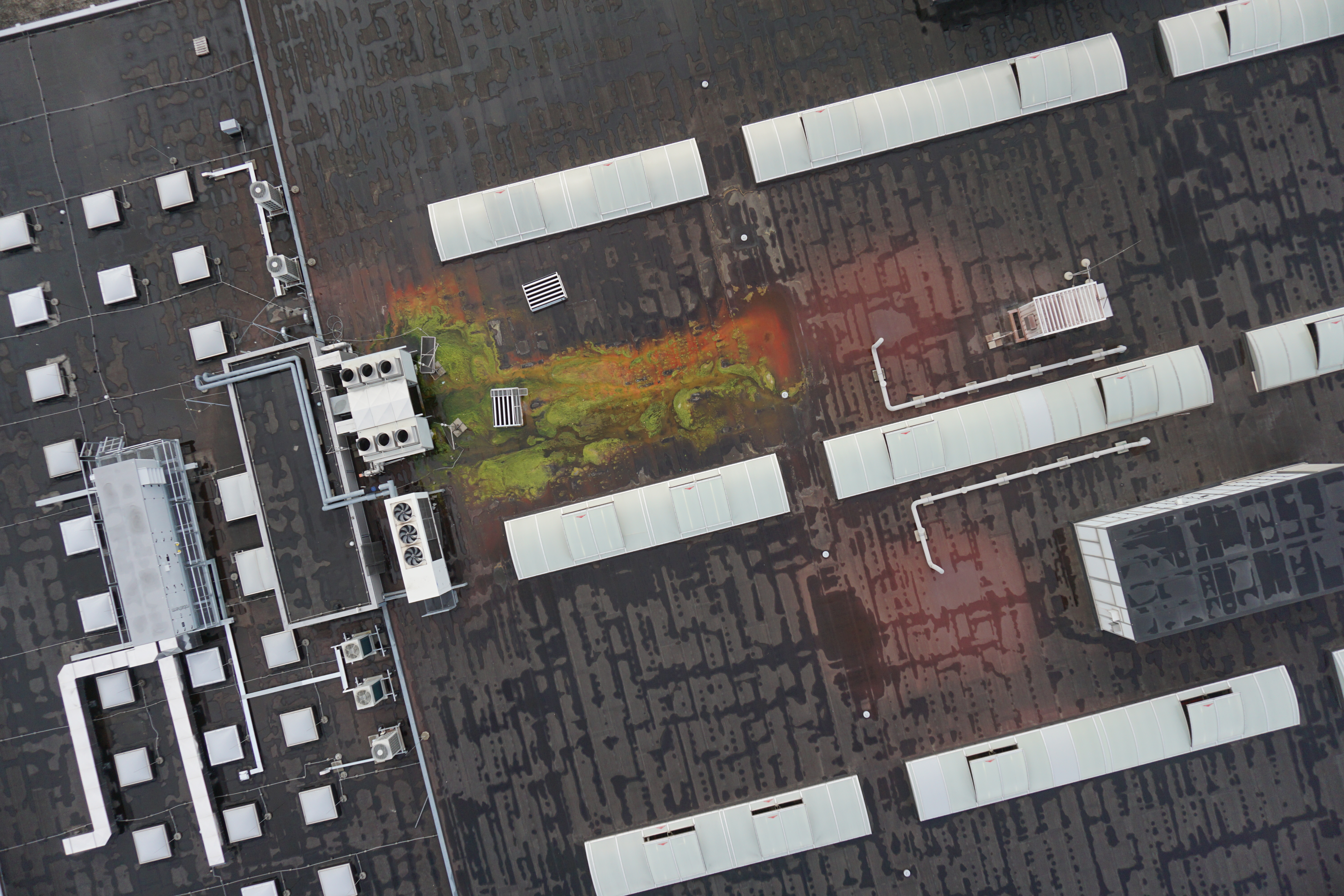
Biuldings.
- construction process monitoring;
- roof inspections.
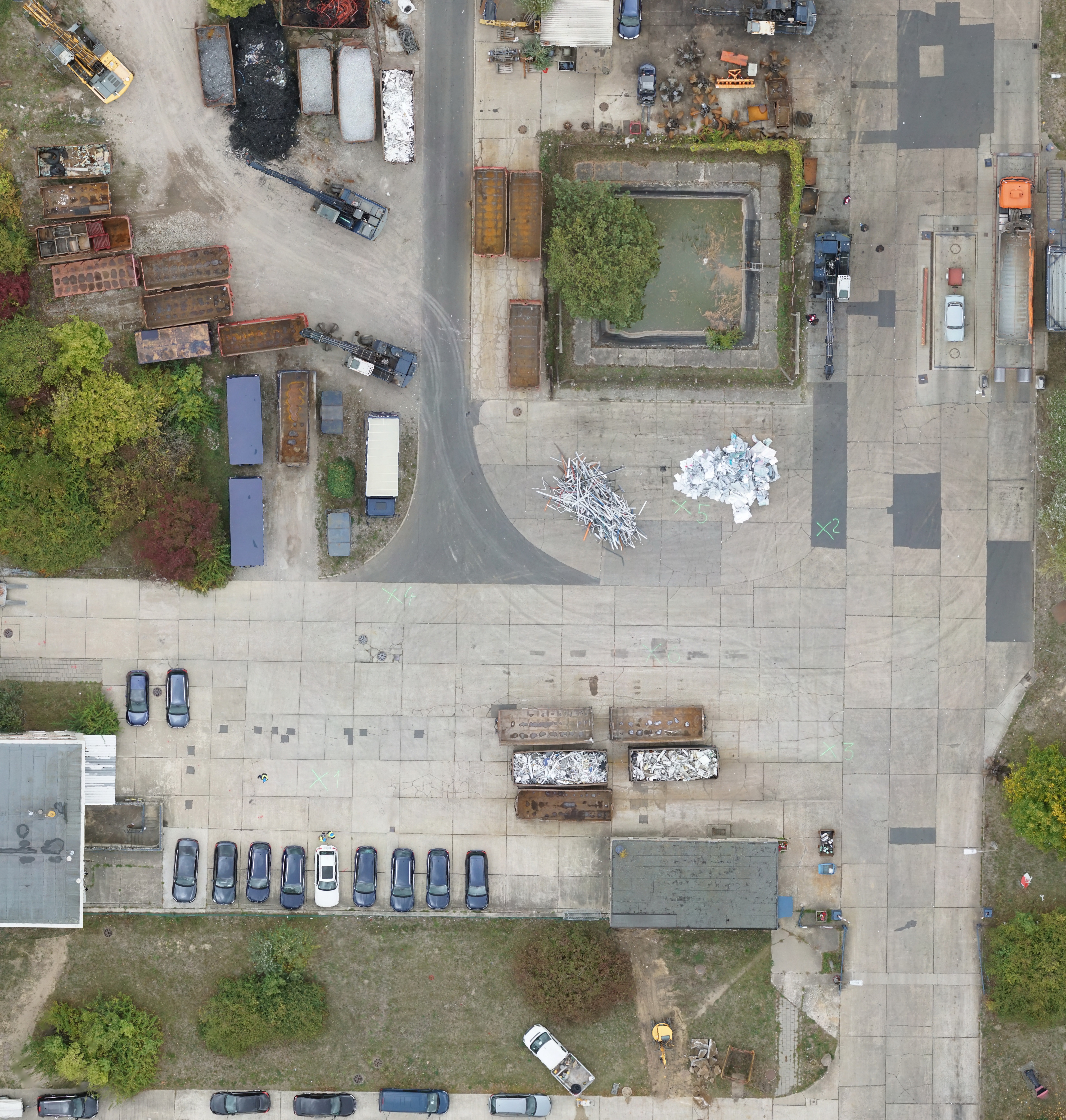
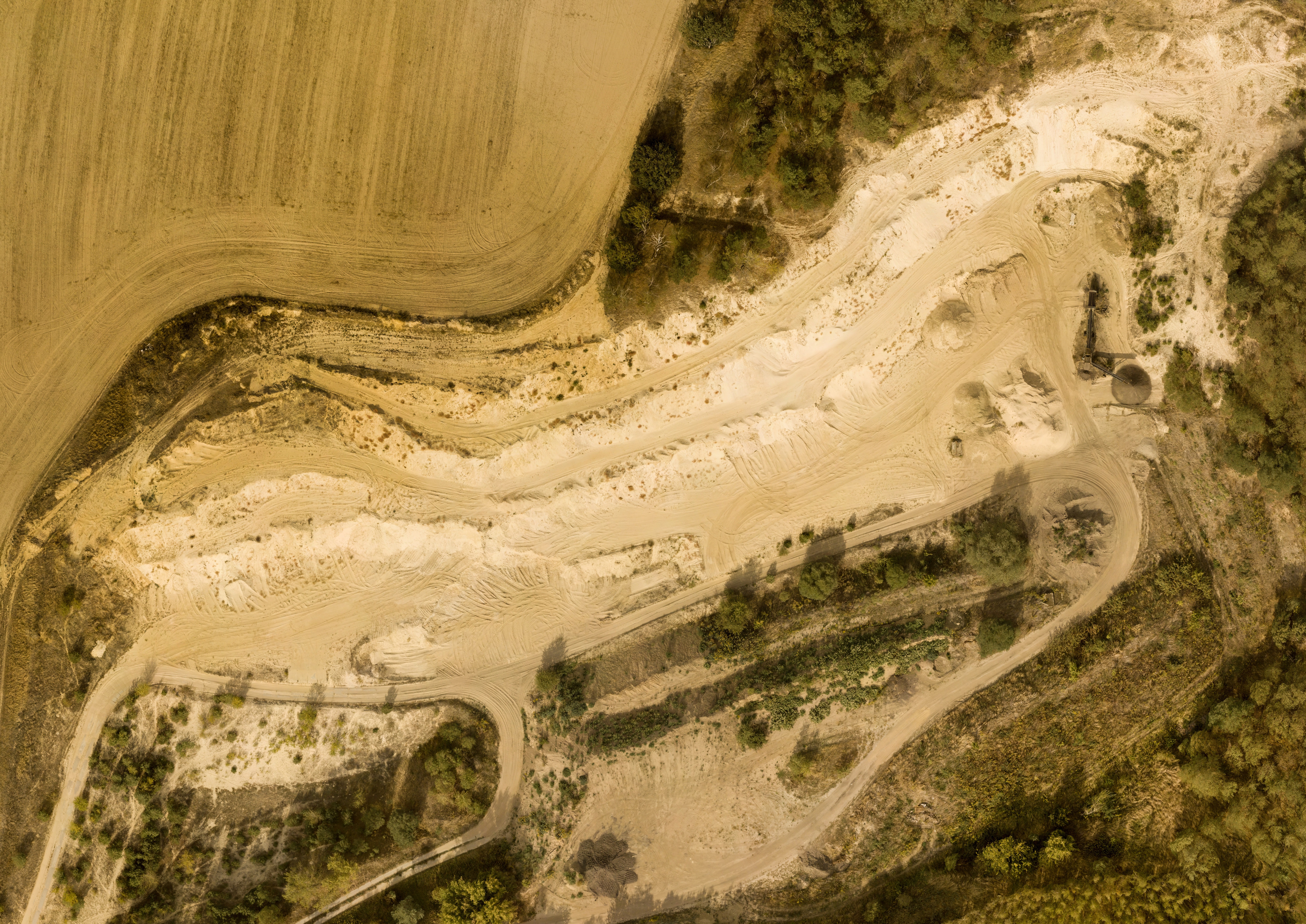
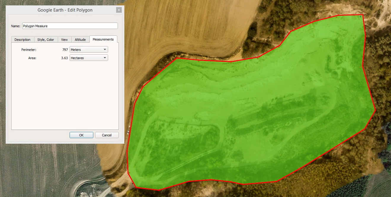
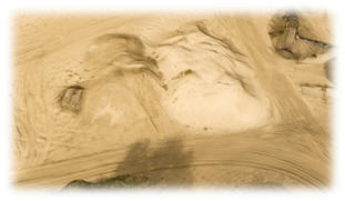
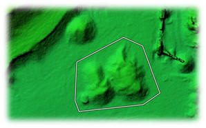
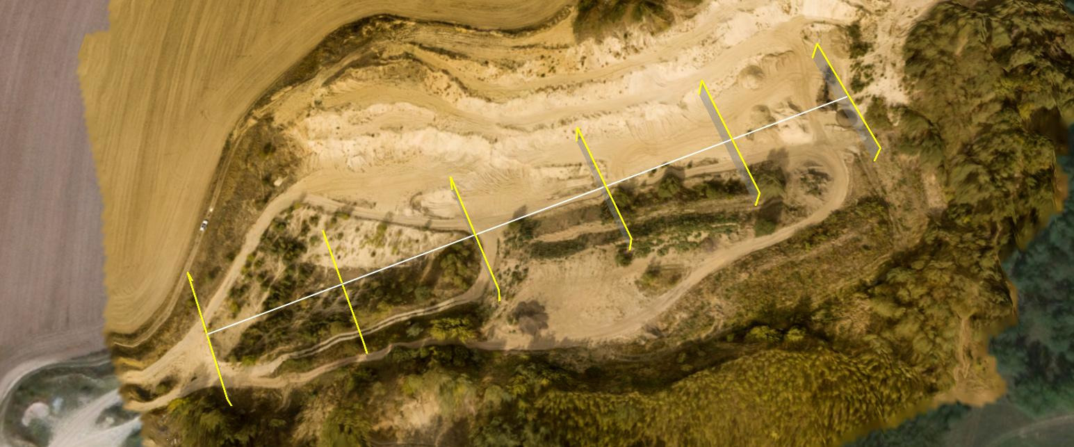
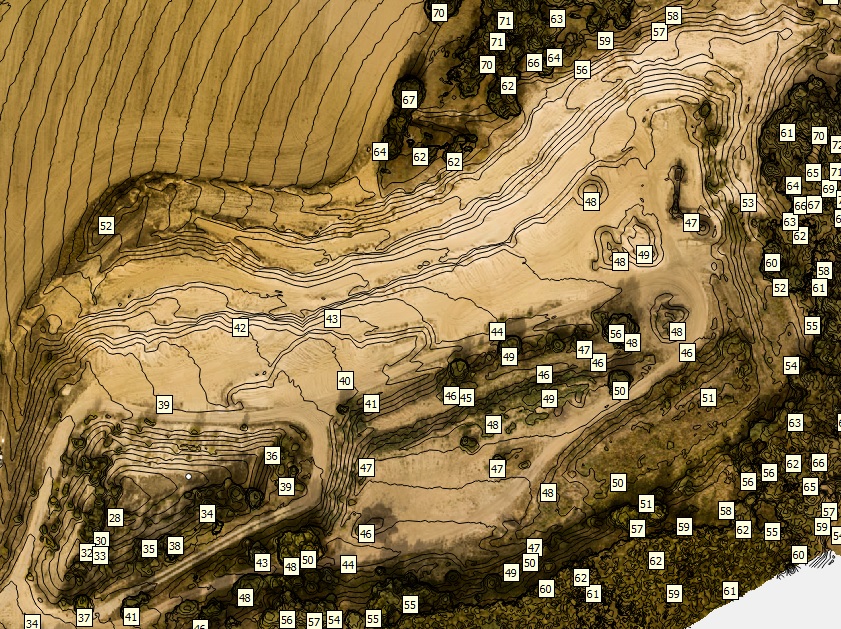
Mining and quarries.
- definition of the actual dimensions, area,
depth;
- volume definition of extracted materials.
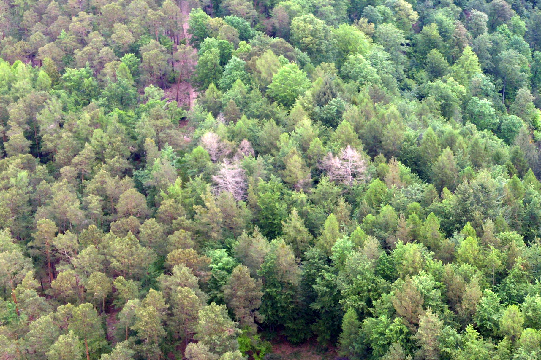
Forestry
- monitoring;
- searching for fallen, dead and diseased trees;
- cutover patches monitoring;
- monitoring the condition of forest roads, paths and
creeks, etc.;
Security
- object perimeter and area
observation.
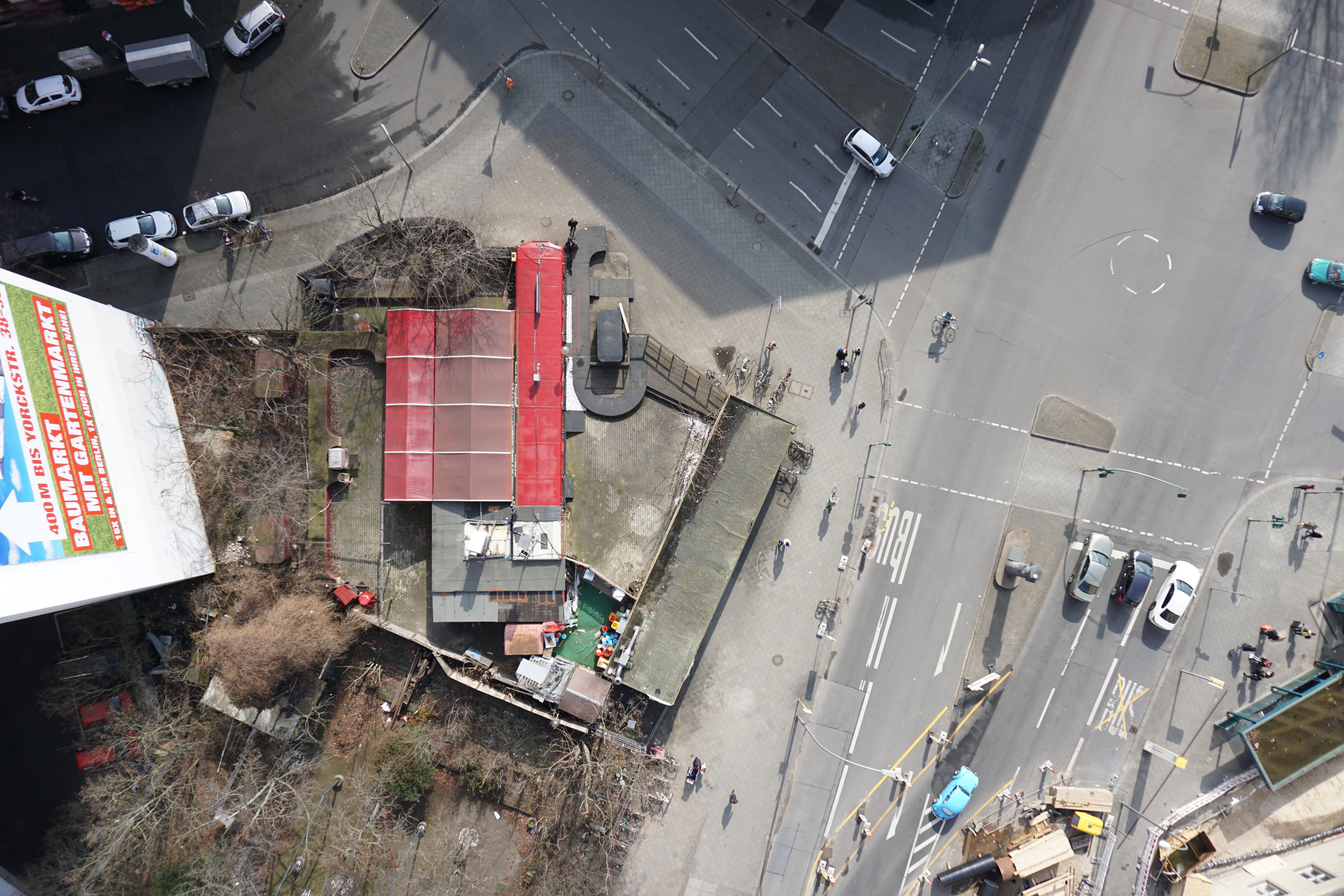
Most useful types of aerial photography
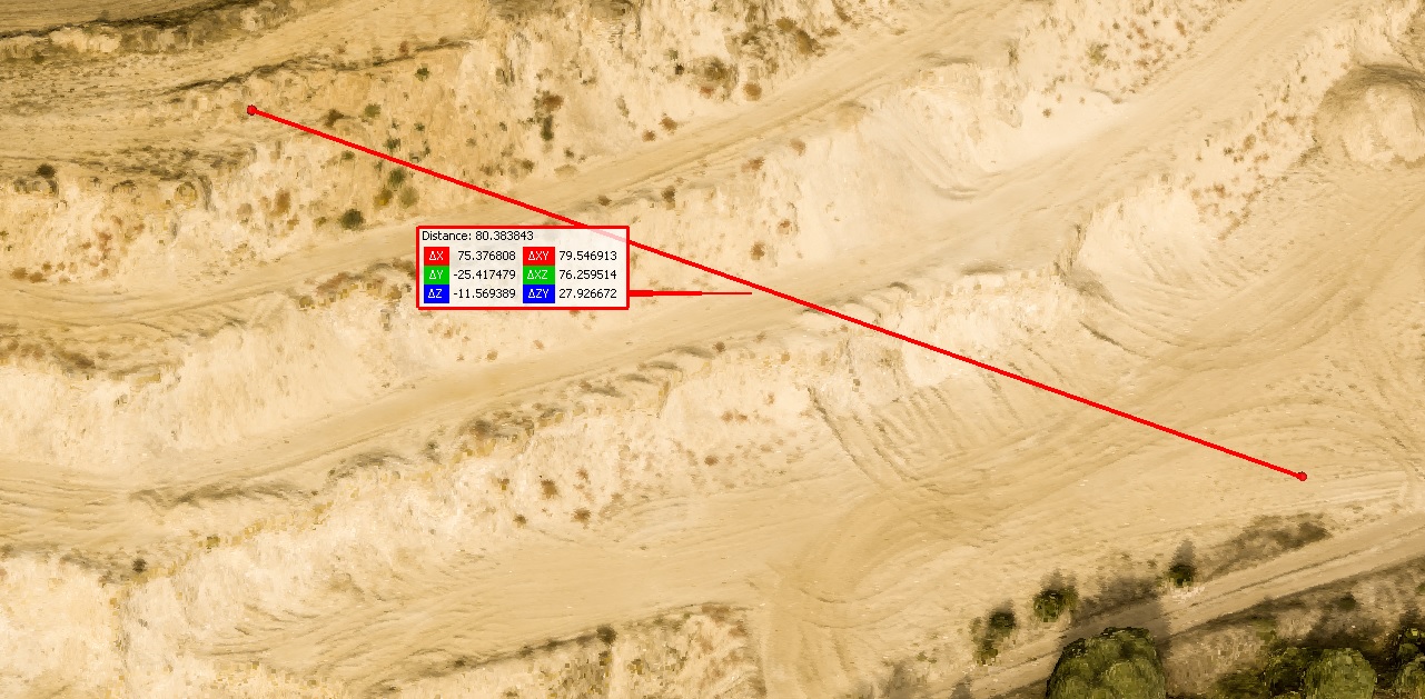
You will be able to use it for visual information about the object and for measurements.
You will get:
- jpeg file, wich you can see in any viewer;
- picture on photopaper (A4) with high quality;
- kmz file, wich you can placed in online service Google Earth for measurements - distances, perimeters, areas.
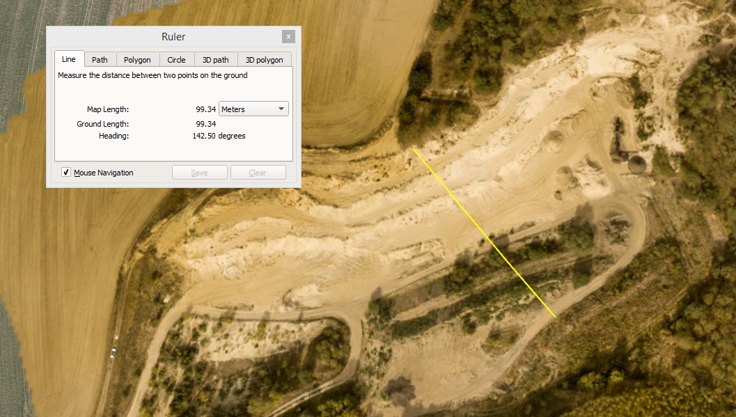
Volume 512 cub. m.
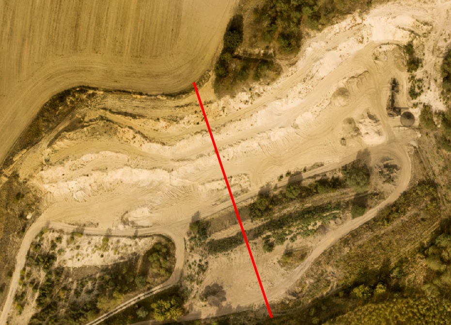
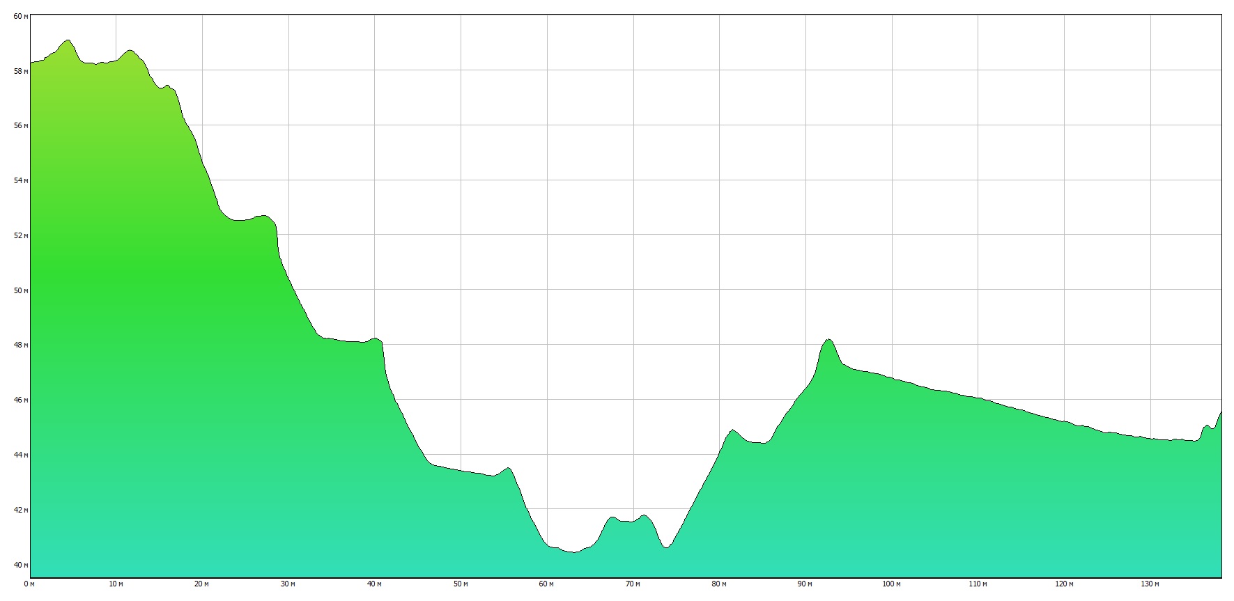
or some crossections along the specified line
Altitude value in meters over sea level. Crossection coordinates are indicated.
Crossections can be printed on photopaper A4 and saved as *.jpg file.
It can be printed on photopaper A4.
and saved as *.kml file for downloading in Google Earth
- in the form of a dynamic pdf file (you can open a pdf file and study a 3D model - it can be rotated and scaled)
- or as a cloud of points for a three-dimensional image of your object and making measurements in three-dimensionalspace
( you can also measure the height).
I will provide software for working with point cloud (free-software) for installation on your computer.
Example of pdf file is here
Of course,
at your request, I can make a video of your object from altitude
of up to 120 meters, photo and 3D-panorama.
3D-panorama here